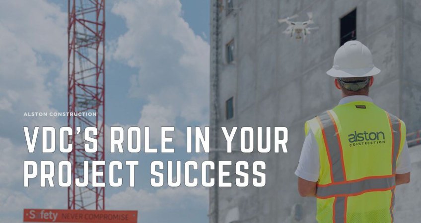
Revolutionizing Land Surveying and Development
Land development is a complex process which requires precise planning and assessment especially when it involves the initial land survey. Traditional land surveying methods often involve a significant amount of resources. It often is time-consuming, inaccurate, costly, and provides limited data making it challenging to understand the overall construction budget. The Alston Construction VDC Department recently adopted aerial mapping to help our clients have access to a game-changing tool that can help save money and time along with streamlining their land surveying process.
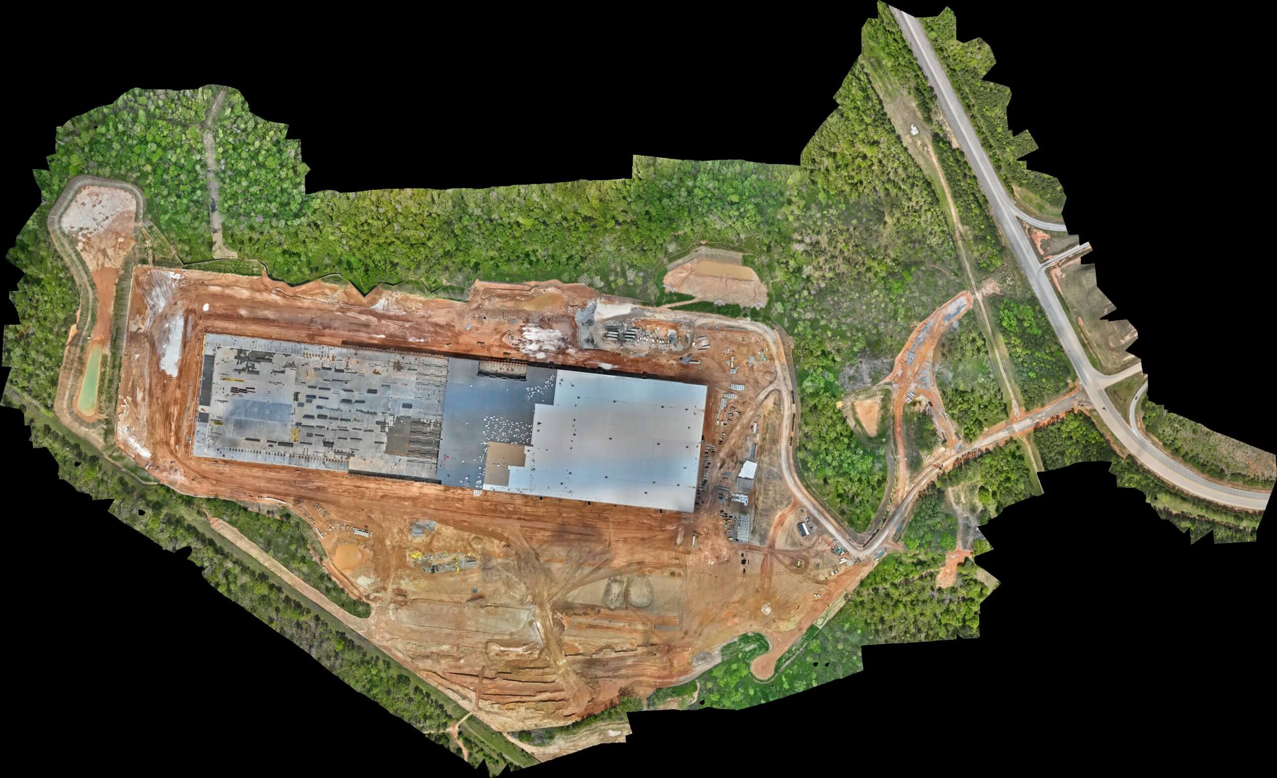
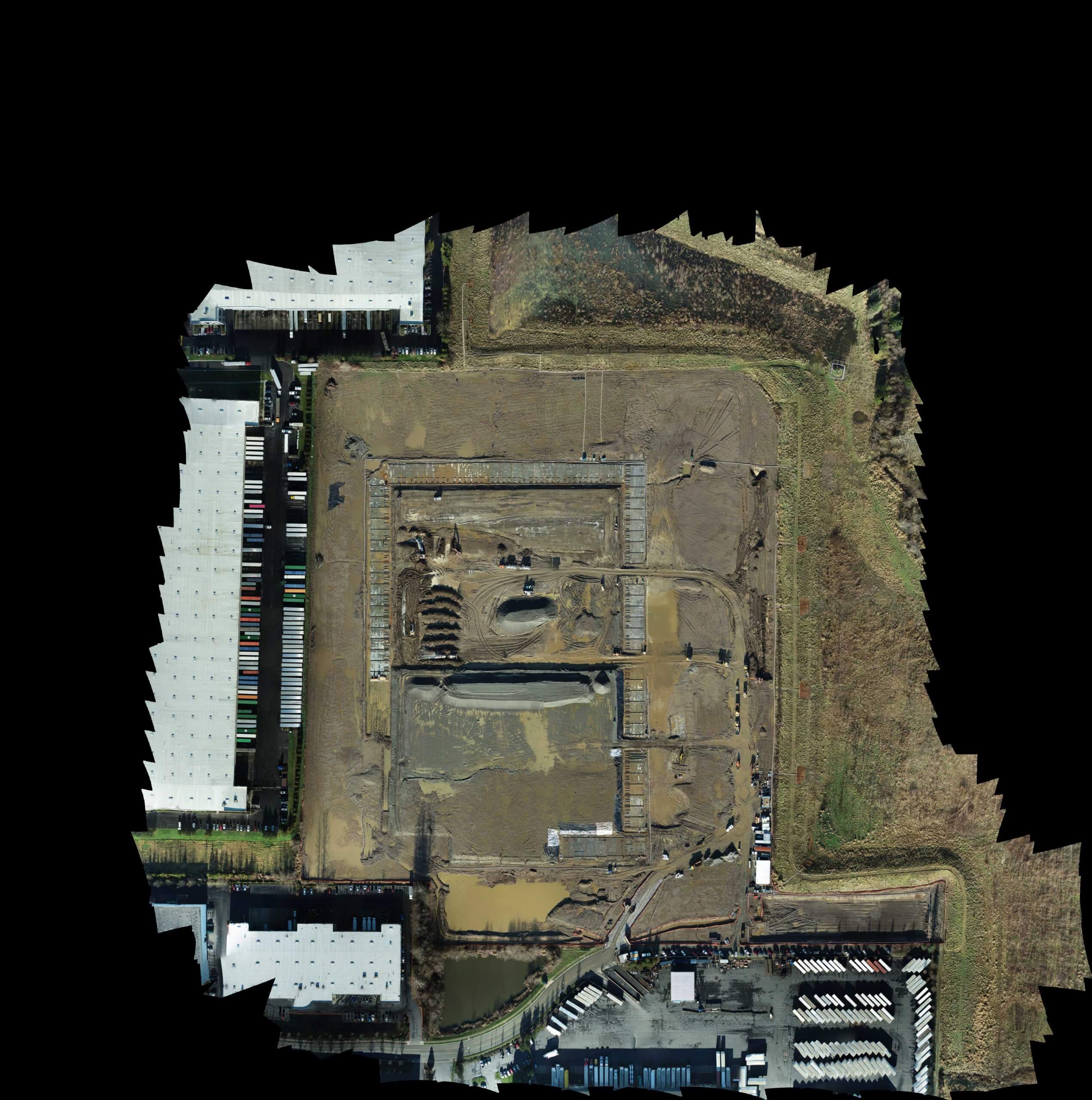
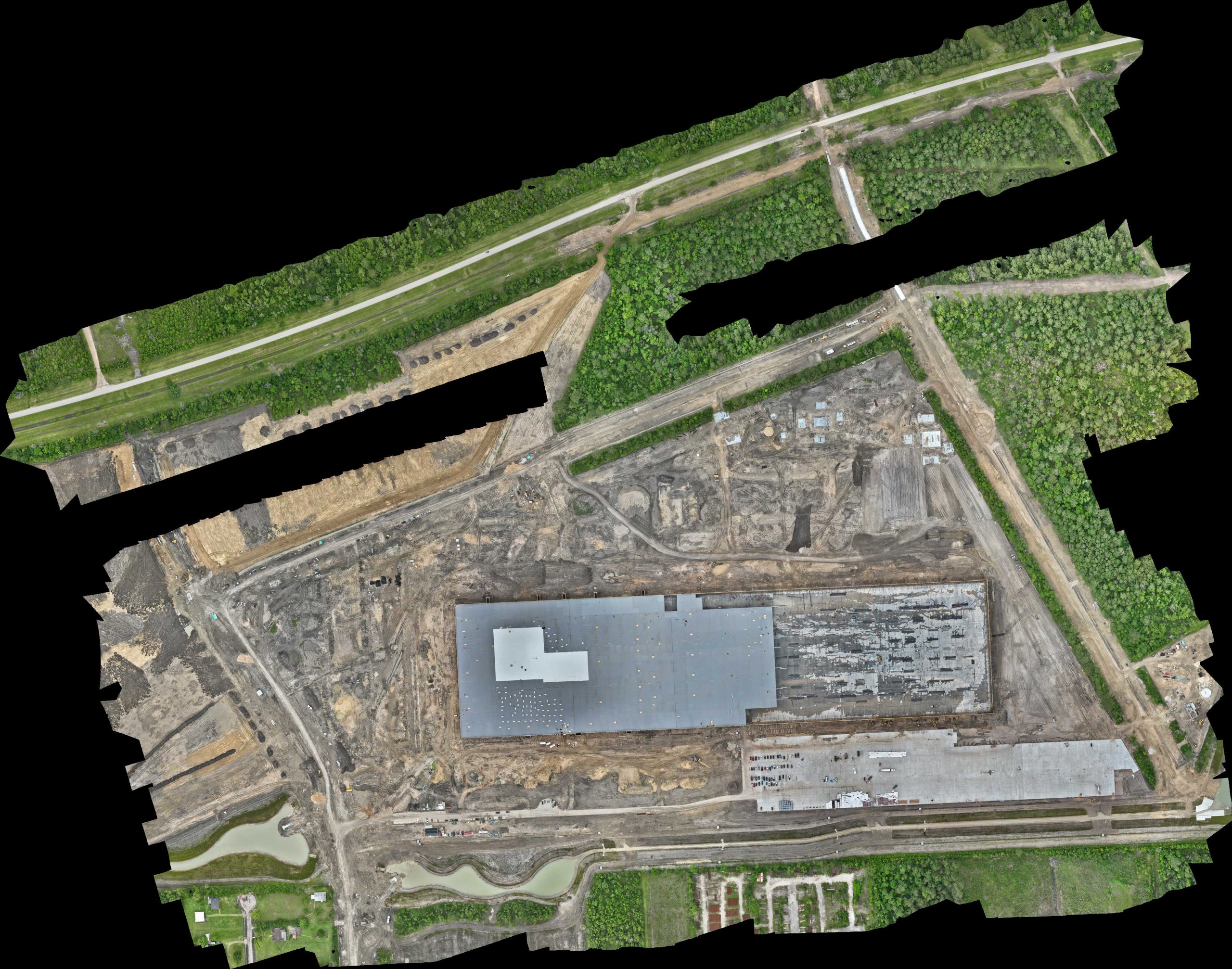
Drone 3D Surveying Solution
Drone technology gives our clients an aerial perspective with high-resolution cameras and 3D model output technology, which provides a comprehensive view of the site. It can be completed in a fraction of the time of a traditional survey ultimately reducing project timelines and costs. Our clients can manage survey data and site work from one central hub, an interactive 3D survey map.
Alston Construction and their Partners’ Success
Our developer partners and project stakeholders can evaluate risks and costs associated with their projects using our precise data from drone surveys and aerial mapping before their projects begin. Our VDC services transform the collaboration in our preconstruction and construction processes, and ultimately, enables better planning, design, and decision-making with the team and our clients. As the industry continues to embrace drone technology, we expect more innovations that will further benefit our partners and contribute to efficient land development and construction practices. Alston is committed to finding and utilizing creative solutions and cutting edge technology for the evolving real estate and construction environment. Ask Alston to take flight and see what we can do to help get your project off the ground